
Measuring stockpile volumes in mining, construction, and waste management sectors is one of the most common commercial drone applications. However, operators face a critical choice when configuring their gear: should they invest in active LiDAR (Light Detection and Ranging) payloads, or rely on passive photogrammetry?
The choice between these two methodologies impacts equipment acquisition costs, field deployment speed, processing times, and overall volumetric accuracy.
Active vs. Passive Sensing
LiDAR is an active sensing technology. The payload emits thousands of laser pulses per second and measures the time it takes for those pulses to bounce back from the ground. Because it emits its own light source, LiDAR can map in low-light conditions, during twilight, or even at night. Most importantly, a laser pulse can slip through gaps in leaves, allowing pilots to map the actual ground beneath vegetation canopy.
Photogrammetry, by contrast, is a passive technology. It relies on ambient light to capture high-resolution overlapping images. Software then processes these images, matching common pixels to compute the 3D geometry of the site. While photogrammetry is highly cost-effective and provides photographic context, it fails to see through brush and struggles to reconstruct smooth, uniform surfaces like fresh sand or snow where pixel matching is difficult.
Comparative Metrics: LiDAR vs. Photogrammetry
To help fleet managers select the appropriate tool, we have compiled the core operational differences:
| Metric | LiDAR (Active Laser) | Photogrammetry (Passive Image) |
|---|---|---|
| Hardware Cost | High ($15,000 - $50,000+) | Low to Moderate ($2,000 - $8,000) |
| Vegetation Penetration | Excellent (Multiple Returns) | None (Captures Canopy Only) |
| Processing Time | Fast (Direct Point Cloud Export) | Slow (Requires Heavy Pixel Matching) |
| Lighting Requirements | None (Works in complete darkness) | Strict (Requires bright, indirect light) |
Flight-Ready Breakdown
Technology AuditWhat Changed
Recent sensor releases have lowered the entry cost of LiDAR, while cloud-based photogrammetry has improved processing speeds.
Why It Matters
Selecting the wrong technology leads to volumetric errors on vegetated stockpiles or unnecessary capital expenditures on clean yards.
Before Your Next Mission
Audit your target site. If stockpiles have vegetation cover exceeding 10%, specify a LiDAR survey. For clean yards, use photogrammetry to save costs.
Establishing Your Workflow
For operations managers, the final decision often hinges on processing time and field constraints. LiDAR datasets require minimal post-processing because the sensor outputs a direct 3D point cloud, allowing same-day volume reporting. Photogrammetry requires hours of computer rendering to generate orthomosaics, which can delay deliverables. Weigh your client's turnaround requirements against your capital budget before bidding on wide-area contracts.

Related Briefs
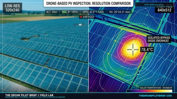
Thermal Resolution in the Field: 320 vs. 640 Radiometric Cores and the Math of Critical Audits
Buying a drone for solar, roof, or utility inspection? Here is the optical math behind Spot Size Ratio (SSR) and why flying a 320 sensor too high invalidates radiometric temperature data....
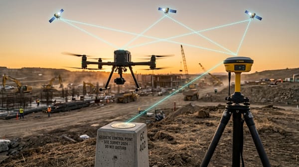
The Commercial GNSS Benchmark: Local RTK Base Stations vs. Network NTRIP in High-Multipath Environments
Before you trust centimeter deliverables to a cellular SIM card, understand where Network RTK quietly drifts. Here is the field-tested performance boundary between dedicated tripod base stations and cloud NTRIP casters....
Get The Preflight
The weekly operational-intelligence briefing for drone pilots. Filtered down to what actually matters before your next mission.